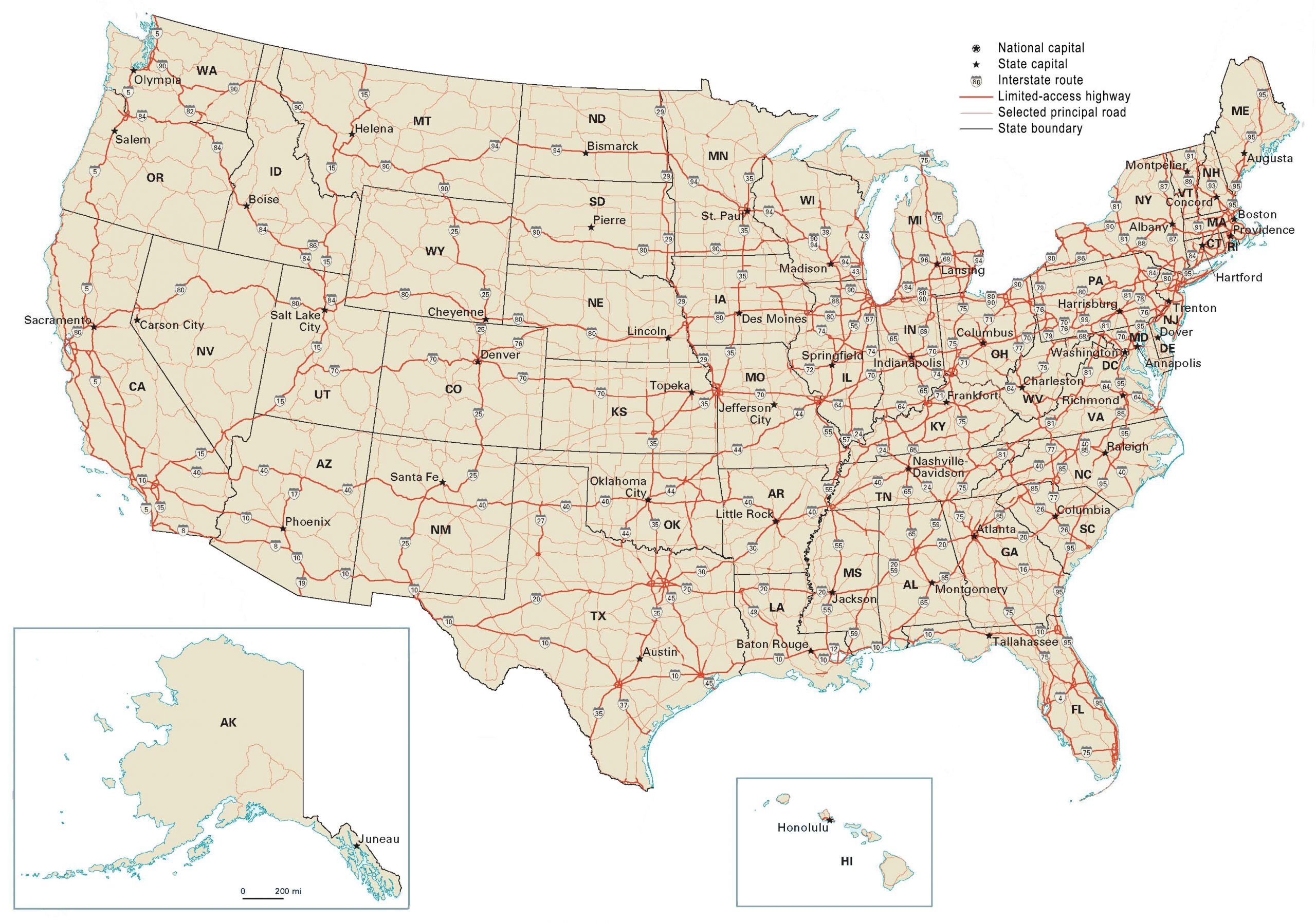
Map Of Colleges In United States
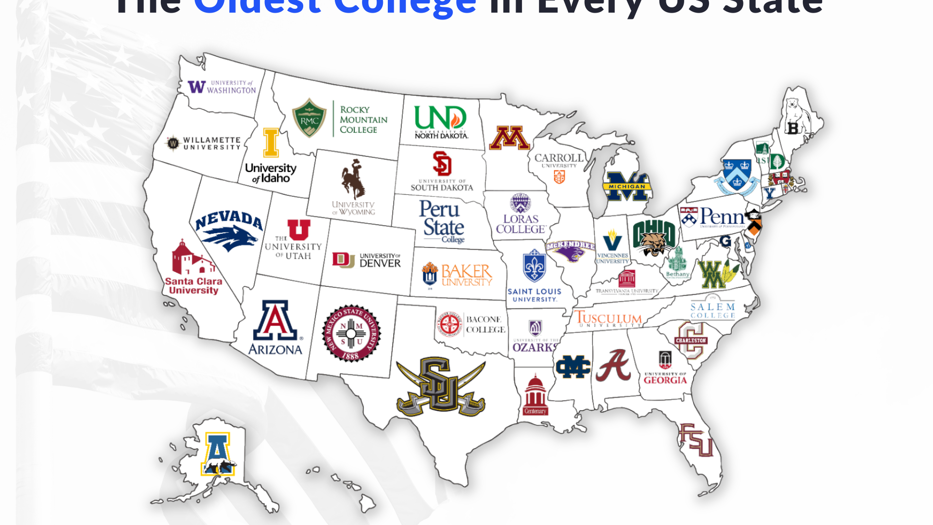
Thinking about furthering your education in the United States? Finding the right college can be overwhelming, but fear not! We’ve got you covered with a comprehensive map of colleges in the United States to help you navigate your way to the perfect academic fit. With thousands of colleges and universities across the country, narrowing down … Read more