Southwest Region United States Map
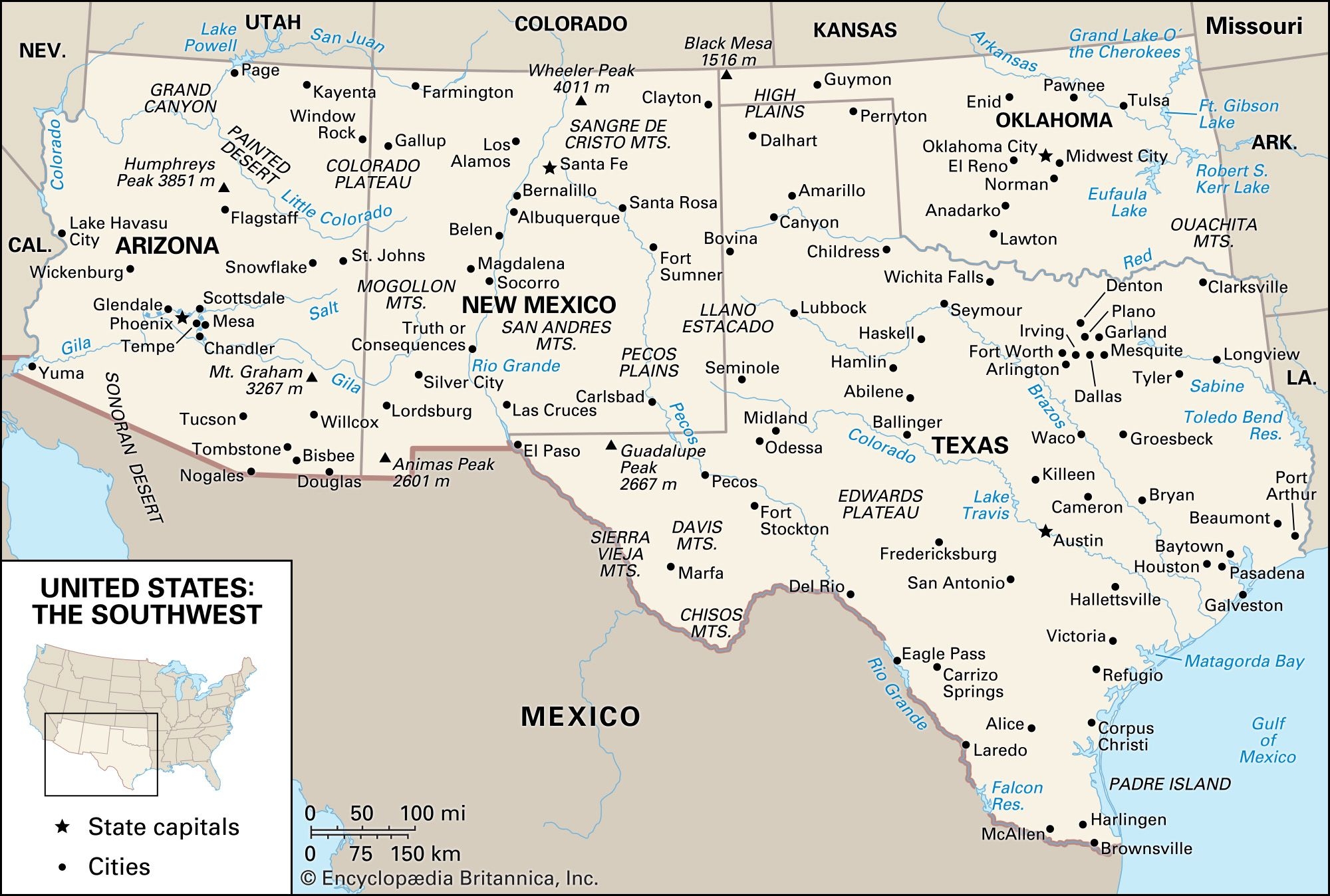
Exploring the beauty of the Southwest region of the United States is a dream for many travelers. From the majestic Grand Canyon to the vibrant city of Santa Fe, there is so much to see and do in this diverse area. Whether you’re planning a road trip through Arizona, New Mexico, or Nevada, having a … Read more