United States Map In 1860
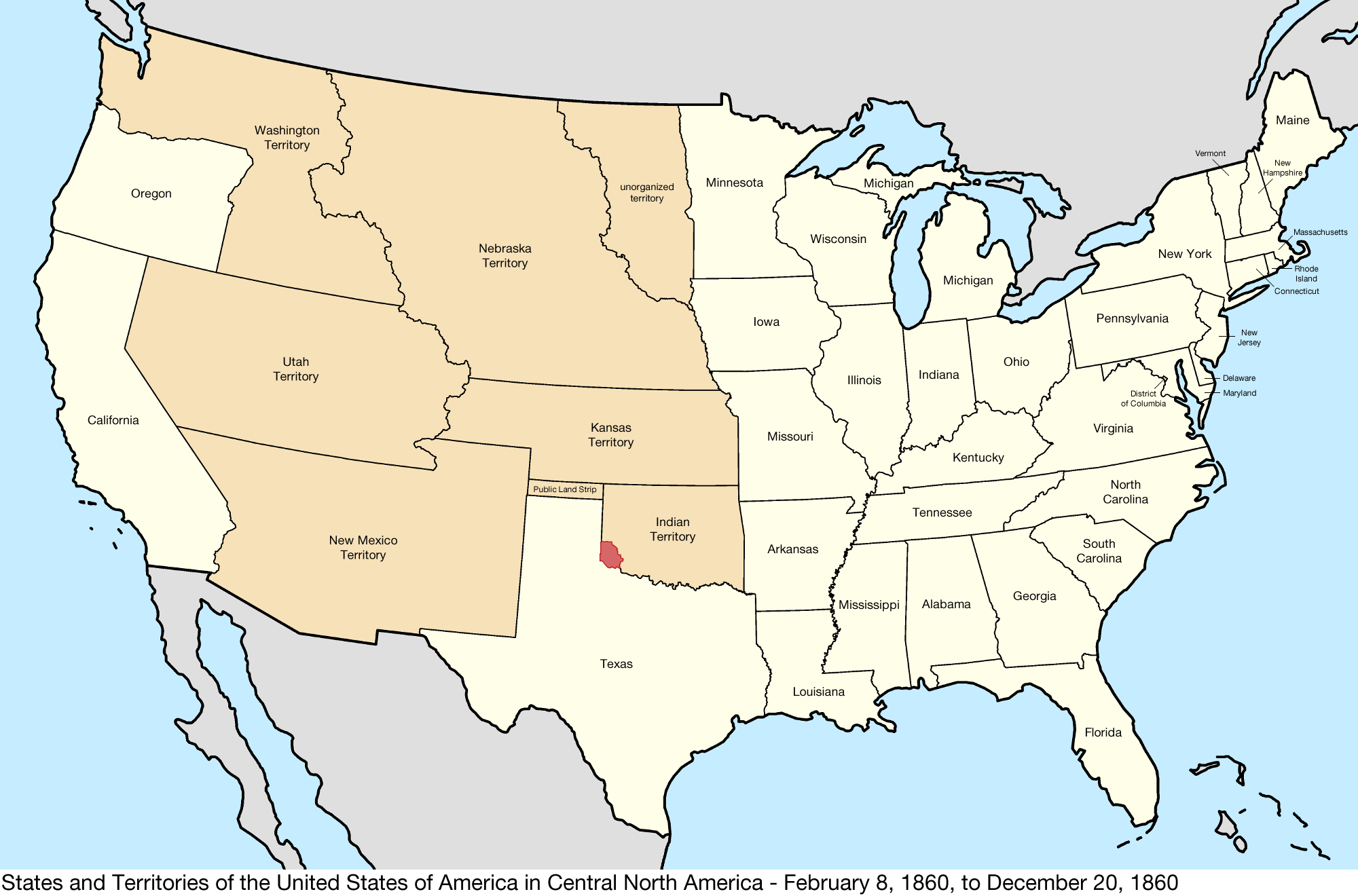
Have you ever wondered what the United States map looked like in 1860? It’s fascinating to see how the country’s borders and territories have evolved over time. In the year 1860, the United States was on the brink of the Civil War, a pivotal moment in American history. The United States map in 1860 showcased … Read more