United States Map 1860
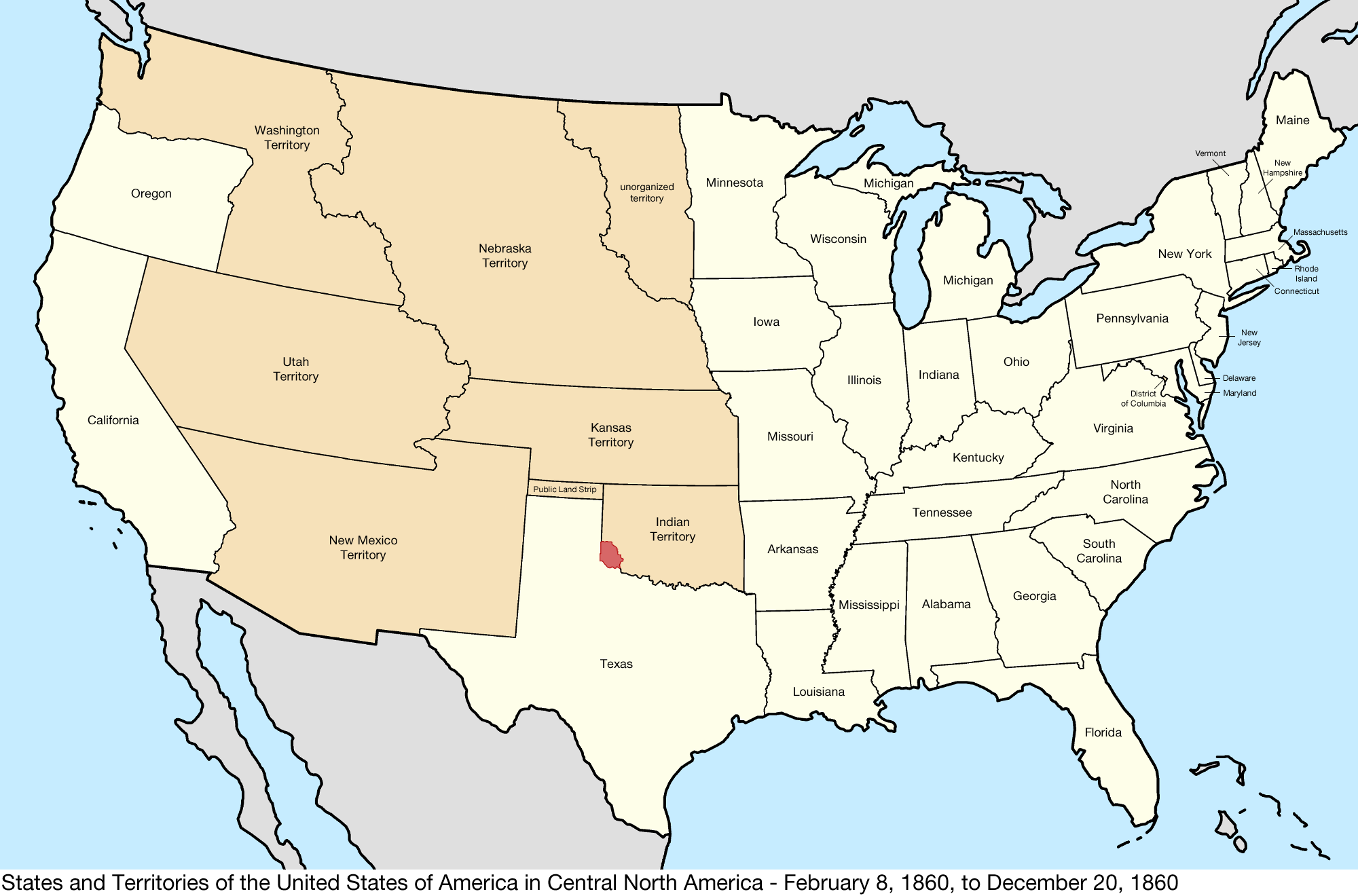
Do you find yourself intrigued by history and the evolution of maps? One fascinating piece of history is the United States map from 1860, capturing a pivotal moment in American history. The year 1860 marked a crucial time for the United States, with the country on the brink of the Civil War. The political landscape … Read more